Aerial Imaging

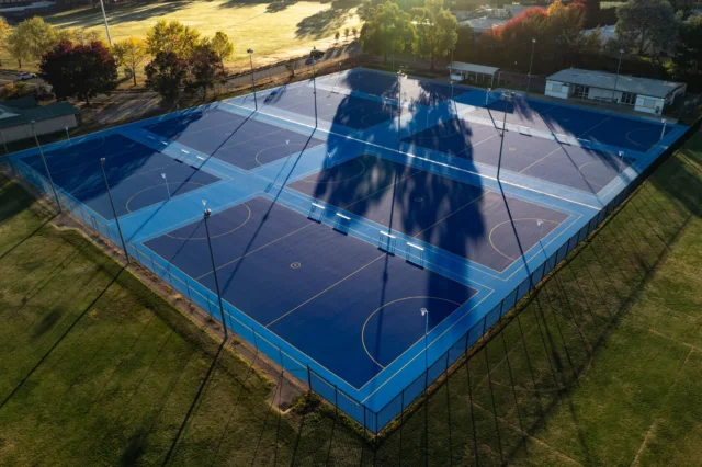
Comprehensive Site Surveys
High-resolution aerial footage and images that map out site layouts, track progress, and support planning decisions.
Enhanced Project Monitoring
Detailed aerial surveys that assist in project management by providing an overview of construction phases, potential hazards, and spatial relationships.
Impactful Visuals
Dramatic overhead shots that add depth to your marketing materials, helping to showcase the scale and ambition of your project to investors and clients alike.